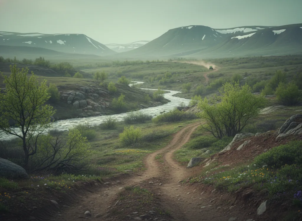
The Garnet Range 4WD trail system surrounds the BLM-managed Garnet Ghost Town in Granite and Powell counties of western Montana, approximately 30 miles east of Missoula in the forested uplands above the Blackfoot River valley, made famous to the wider world by Norman Maclean's novel and Robert Redford's 1992 film adaptation of A River Runs Through It. Garnet itself was a late-1800s gold and silver mining boomtown that peaked at roughly 1,000 residents in the 1890s before declining and eventually being preserved as one of Montana's best-preserved intact ghost towns, approximately 30 original wooden buildings still stand on the original town site. The surrounding BLM land hosts a network of historic mining roads and 4WD routes that give Garnet its OHV character: narrow shelf roads cut into the forested hillsides, connecting the town site with the surrounding mining claims and the abandoned settlements (Coloma, Bearmouth) that dotted the Garnet district during the boom. The terrain is mid-elevation Montana forest at 5,000 to 7,000 feet: lodgepole pine and Douglas fir on the ridges, aspen groves in the moister drainages, and the rocky mining-era road surfaces that require high-clearance 4WD rather than simply all-wheel drive. Full-size 4x4 Jeeps and trucks are the typical users; ATVs and UTVs also work on most routes. The BLM charges a modest fee at the Garnet Ghost Town interpretive site during the May-September operating season; the surrounding trail network is free public-land access. BLM Missoula Field Office (406-329-3914) handles current road status.
Hours
Trails accessible approximately May through October; the ghost town interpretive site is typically open mid-May through late September. Day-use fee at the ghost town; trail access on surrounding BLM land is free.
Phone
406-329-3914Trip openings, seasonal updates, and the occasional deal, straight to your inbox.
FAQ
Everything you need to know before you get started.
Have a question, or ready to book? Reach out and we’ll get right back to you.